Drawing floor plans on a real map? This free tool does it.
At Astro Rent, we work with floor plans for every event. Where will the access points be located, how will the cabling run, and where will the tents and stages stand? We usually receive these plans as a PDF, PowerPoint, or — to be honest — as a photo of a sketch on paper.
We recently came across VenueMap. A free web tool that lets you draw a floor plan on the actual satellite map of your location. Enter the address, load the map, and drag elements into place. To scale, with dimensions.
Why this is interesting for event organizers
Most organizers we speak to work with tools that are not built for event planning. Excel to keep track of locations. PowerPoint to create visuals. Or they pay hundreds of euros for specialized software that does much more than they need.
VenueMap sits somewhere in between. Simple enough to have your first plan in five minutes. But you can also use it to submit a permit application.
What struck us: you work on the actual map, not on a blank canvas. This makes communication with the municipality and emergency services more concrete. Sharing is done via a link — no account is needed to view a plan. And there is a PDF export included for those who prefer it on paper.
Waiting list is open
VenueMap recently opened a waiting list. We have signed up — curious to see how it works in practice for our daily planning. If it does what it promises, it will save us a lot of back-and-forth emailing about floor plans.
For organizers who regularly work with floor plans: it costs nothing to try. More info at https://www.venuemap.eu
nl
Bij Astro Rent werken we voor elk event met grondplannen. Waar komen de access points, hoe loopt de bekabeling, waar staan de tenten en podia? We krijgen die plannen meestal als PDF, PowerPoint of — eerlijk — als foto van een schets op papier.
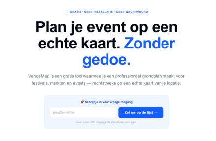
Onlangs kwamen we VenueMap tegen. Een gratis webtool waarmee je een grondplan tekent op de echte satellietkaart van je locatie. Adres ingeven, kaart laadt, en je sleept elementen op hun plek. Op schaal, met afmetingen.
Waarom dit interessant is voor eventorganisatoren
De meeste organisatoren die we spreken, werken met tools die niet gebouwd zijn voor eventplanning. Excel om standplaatsen bij te houden. PowerPoint om iets visueel te maken. Of ze betalen honderden euro's voor gespecialiseerde software die veel meer doet dan ze nodig hebben.
VenueMap zit daar tussenin. Simpel genoeg om in vijf minuten je eerste plan te hebben. Maar je kan er ook een vergunningsaanvraag mee doen.
Wat ons opviel: je werkt op de echte kaart, niet op een leeg canvas. Dat maakt communicatie met gemeente en hulpdiensten concreter. Delen gaat via een link — geen account nodig om een plan te bekijken. En er zit een PDF-export in voor wie het liever op papier heeft.
Wachtlijst is open
VenueMap heeft recent een wachtlijst geopend. Wij hebben ons ingeschreven — benieuwd hoe het in de praktijk werkt voor onze dagelijkse planning. Als het doet wat het belooft, scheelt het ons een hoop heen-en-weer gemail over plattegronden.
Voor organisatoren die regelmatig met grondplannen werken: het kost niks om te proberen. Meer info op https://www.venuemap.eu